About Gloucester
Gloucester is a town in the Barrington Coast hinterland of the lower Mid North Coast, in the MidCoast Council area. It is the closest town to the world heritage Barrington Tops National Park.
It sits on the North Coast railway line and can be reached from Newcastle, 145 km to the south-east, along the Bucketts Way, or from the north along Thunderbolts Way. The Gloucester River flows beside the town, just above its junction with the Avon River.
How Gloucester got here
A few dates and facts that shaped the place.
1826
Government surveyor Henry Dangar is the first to visit the district, in January; Robert Dawson follows later the same year.
1855
The township is established, mainly for sheep farming, though the land proves not wholly suitable.
1923
Electricity reaches Gloucester, through the Gloucester Electric Supply Company formed by Fred Lowe.
More about Gloucester
Settlement came in the 1830s. The main industries of the Gloucester area are tourism, timber and cattle farming, and timber has been prevalent since the late nineteenth century. In 1876 gold was found at Copeland, north-west of the town, which grew to more than 3,000 people for a time.
The Majestic Theatre, built in the early 1920s on Church Street, closed around 1980 and is now a shopping arcade. Gloucester was the venue for the first Groovin’ the Moo music festival, at the Gloucester Showground on 24 April 2005.
Heading
The district’s weekly paper is the Gloucester Advocate, and Bucketts Radio is staffed entirely by volunteers. The nearest airport is Newcastle, about 99 km south.
Write something…
Where is Gloucester?
Gloucester is in the MidCoast Council area on the Mid North Coast of New South Wales.
Nearby towns with hubs on OurHub, with straight-line distances: Barrington (6 km north-west), Mount George (25 km north-east), Krambach (29 km east), Burrell Creek (31 km east).
What the Gloucester directory lists
To eat and drink: Avon Valley Inn, Roadies Cafe, Roundabout Hotel, the common by single o. Shops and services: Gloucester LPO. For health: Gloucester Pharmacy, Gloucester Soldiers Memorial Hospital. Halls and community places: Gloucester CWA, Gloucester Library.
Parks, beaches and recreation: Billabong Native Gardens, Gloucester Country Club, Gloucester Hydrotherapy Memorial Pool, Memorial Park. Schools and learning: Gloucester High School, Gloucester Public School, Saint Joseph's Primary School. Churches: Christian Outreach Centre, Gloucester District Baptist Church, Presbyterian Church, Uniting Church. Emergency services: Gloucester Fire Station, Gloucester Police Station, Gloucester Rural Fire Brigade.
Get in touch
A question, something out of date, a group to link, or the keys to this hub: send it here and someone at OurHub will get back to you.
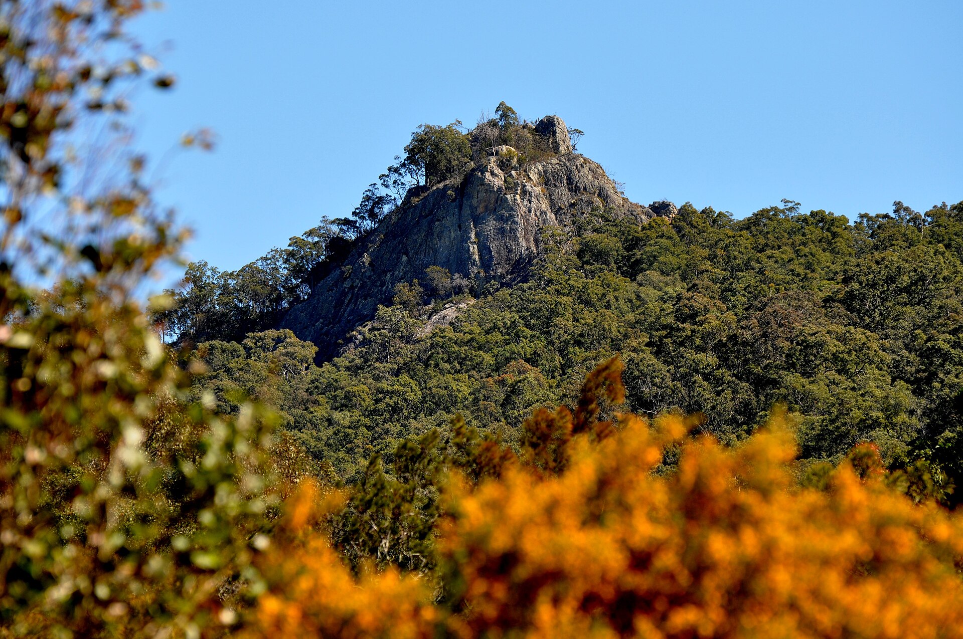
Photo: “Barrington Tops - panoramio” by Annette Teng (CC BY 3.0), via Wikimedia Commons. It shows Barrington Tops, near Gloucester, not Gloucester itself. Town facts: Wikipedia (CC BY-SA 4.0), which cites the Australian Bureau of Statistics census. Straight-line distances are worked out from the hub’s coordinates. Directory locations © OpenStreetMap contributors (ODbL).